Busy Commercial Airports in the United States
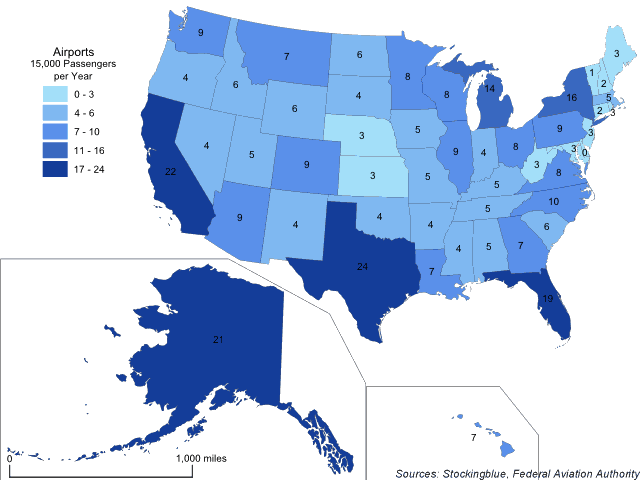
The map above shows the number of airports in each US state that serve at least 15,000 passengers per year. Texas leads all other US states and beats California by a slim margin.
Busy Commercial Airports in the European Union
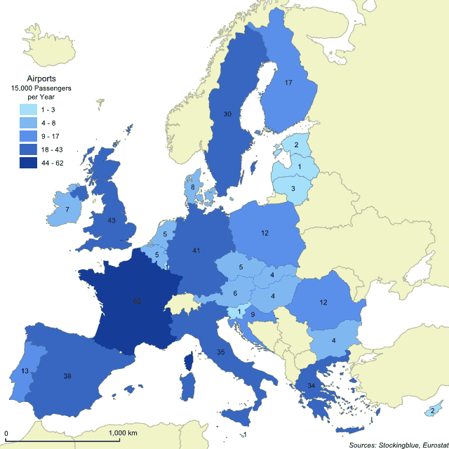
The map above shows the number of airports in each EU state that serve at least 15,000 passengers per year. France leads all other EU states by a large margin, even ones with a similar geography to hers.
Global Competitiveness in the European Union
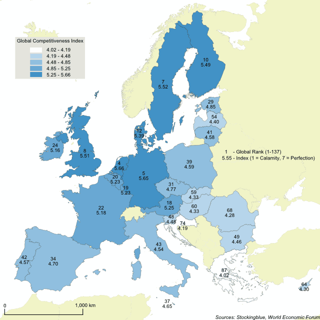
The World Economic Forum published its annual Global Competitiveness Index (GCI) recently and while some states of the European Union faired spectacularly others, not so much. Half of the world's top ten most competitive nations are in the EU, namely the Netherlands, Germany, Sweden, the United Kingdom, and Finland. The Index is made up of 114 factors ranging from property rights to reliability of police services and from the quality of roads to the prevalence of various diseases. These 114 variables are broken up into 11 categories or "pillars" as the Index puts it: institutions, infrastructure, macroeconomic environment, health and primary education, higher education and training, goods market efficiency, labor market efficiency, financial market development, technological readiness, market size, business sophistication, and innovation.
The United States with Metes and Bounds Borders
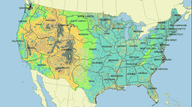
Expanding on yesterday's post where Europe's borders were redrawn based on the Public Land Survey System, today's post will redraw the United States' borders on the metes and bounds system used east of the Mississippi River and in Europe. The map above shows what the United States could look like if the country's borders were drawn based on metes and bounds instead of range and township.
Europe with Range and Township Borders
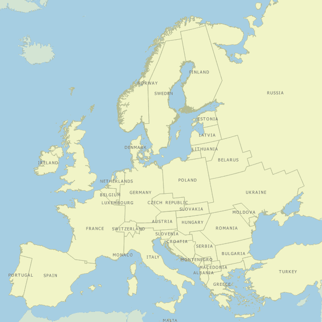
The western United States' borders are not drawn based on the traditional metes and bounds system of delineating borders. Instead, the borders are drawn based on the Public Land Survey System which people commonly refer to as range and township. The map above shows what Europe would look like if the continent's borders were drawn based on range and township instead of metes and bounds.
The Geographic Distribution of Military Personnel in the European Union
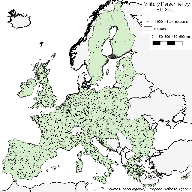
The EU, if it were to ever have a unified military force would see most of its personnel come from very few states. As can be seen in the map above, Nordic and Baltic countries have a limited number of military personnel.
Newer