The United States with Metes and Bounds Borders

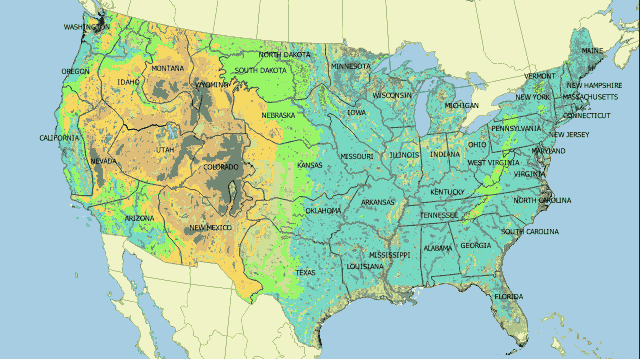
Expanding on yesterday's post where Europe's borders were redrawn based on the Public Land Survey System, today's post will redraw the United States' borders on the metes and bounds system used east of the Mississippi River and in Europe. The map above shows what the United States could look like if the country's borders were drawn based on metes and bounds instead of range and township.
Europe with Range and Township Borders

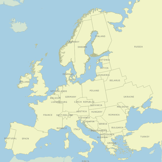
The western United States' borders are not drawn based on the traditional metes and bounds system of delineating borders. Instead, the borders are drawn based on the Public Land Survey System which people commonly refer to as range and township. The map above shows what Europe would look like if the continent's borders were drawn based on range and township instead of metes and bounds.