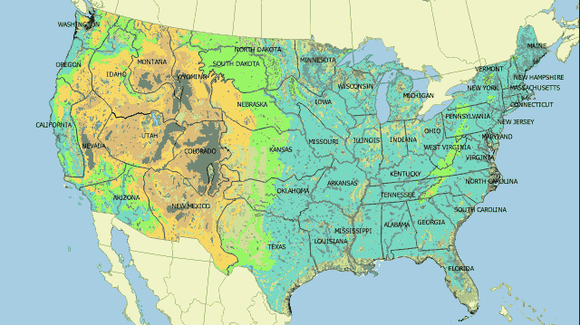
Expanding on yesterday's post where Europe's borders were redrawn based on the Public Land Survey System, today's post will redraw the United States' borders on the metes and bounds system used east of the Mississippi River and in Europe. The map above shows what the United States could look like if the country's borders were drawn based on metes and bounds instead of range and township.
Findings
- It is really hard to find identifiable landmarks in the Great Plains, thus causing the states in the region to expand significantly.
- The borders of the western states would look very different if they were based on natural landmarks than they do today.
Caveats
- There was no science behind how the borders were drawn. Most of the borders were drawn as closely to the existing ones as possible using the nearest rivers and changes in elevation to spot potential boundary lines.
Details
Straight lines exist in the metes and bounds system as well. However, they are almost always used as a way to connect two identifiable points. The system does not rely on longitude or latitude at all.
Each method has its upside and downside. The metes and bounds system relies on features staying at the same position forever, which they do not do. Rivers change course for instance. On the other hand, the range and township system has to account for the fact that meridians get closer to each other the closer one is to a pole and thus cannot plot out true squares.
Sources
Wikipedia. 2017. "Metes and Bounds." Accessed October 27, 2017. https://en.wikipedia.org/wiki/Metes_and_bounds.